


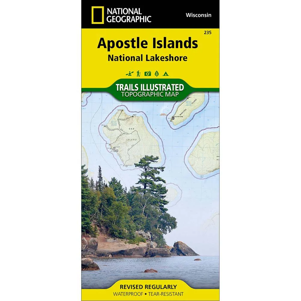
The National Geographic Trails Illustrated Map: Apostle Islands National Lakeshore, an Illustrated topographic map for northern Wisconsin's Apostle Islands National Lakeshore, includes: Devils Island; North Twin Island; South Twin Island; Rocky Island; Bear Island; Otter Island; Ironwood Island; Cat Island; Outer Island; Manitou Island; Oak Island; Stockton Island; Michigan Island; Hermit Island; Basswood Island; York Island; Sand Island; Eagle Island; Sand Point; Point Detour; Madeline Island; Big Bay State Park; Long Island; Chequamegon Point; Lake Superior; an island-to-island mileage chart; the city of Bayfield; Little Sand Bay; UTM grids for use with a GPS.
About Trails Illustrated:
More than just a map, National Geographic Trails Illustrated topographic maps are designed to take you into the wilderness and back. Printed on tear-resistant, waterproof material, this map can go anywhere you do. Each map is based on exact reproductions of USGS topographic map information, updated, customized, and enhanced to meet the unique features of each area. The maps include valuable wilderness tips and Leave No Trace guidelines, along with updated trails, trailheads, points of interest, campgrounds, and much more. With a new color palette and stunning shaded relief, backcountry navigation has never been easier.


